I wanted to get out of the house for a bit before the Superbowl yesterday, so we picked out a new trail we’d never been on before. The Wild Rose trailhead was our destination, located on the benches of North Salt Lake. My camera died, so we just had our phones for pictures. Colton’s camera can take semi-decent HDR photos, so some of these colors don’t quite match from photo to photo haha.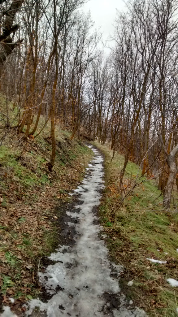
I’m so torn about this beautifully warm winter we’ve been having in Utah. I’m fully expecting another moth epidemic from the southwest like we had this past year. The WORST thing ever. You’d literally open your door for a split second and seven moths were suddenly in your kitchen. I’m also afraid this means we’ll have an incredibly hot summer. On the other hand, our garlic has sprouted, some of our grass is still green, and I’ve never been able to get out so much in January and not be totally frozen.
The trailhead had an adorable little park with some picnic tables and bathrooms. There’s a smaller Wild Rose Loop you can take, or you can take a longer trek to the City Creek overlook. We opted for the longer trail.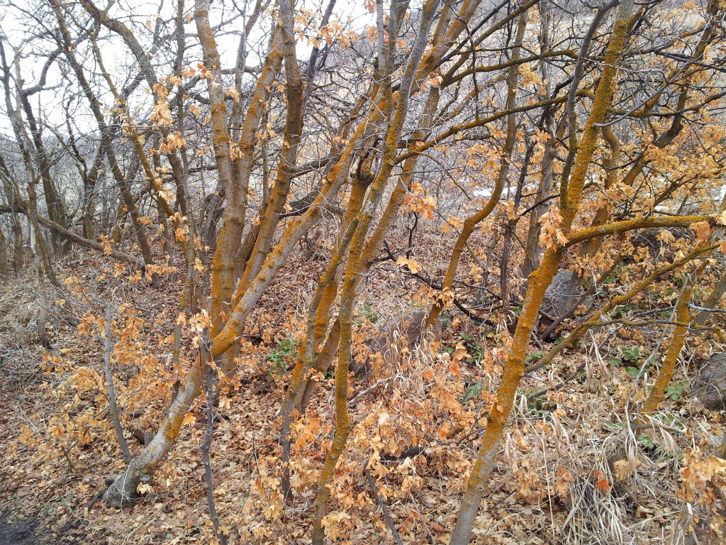
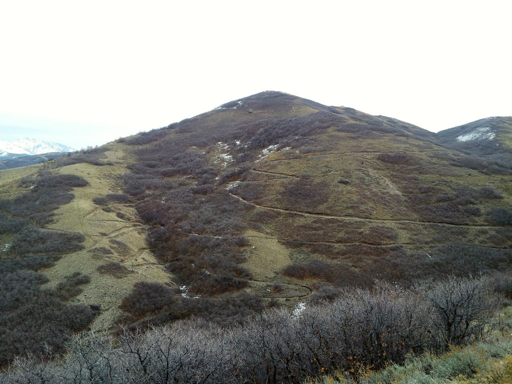
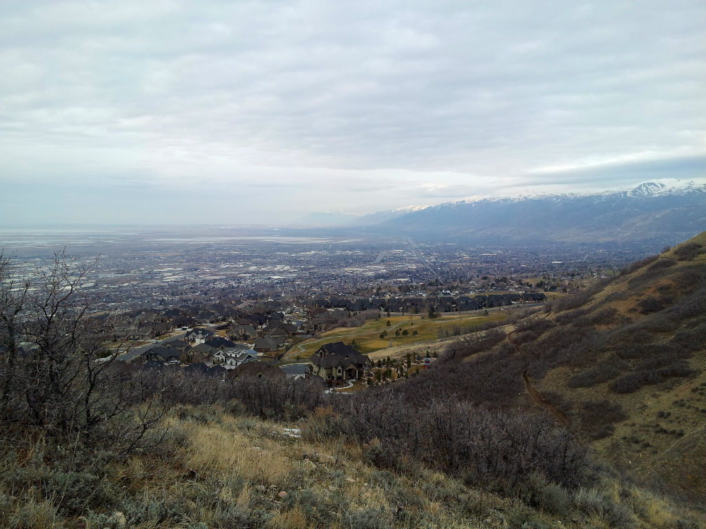
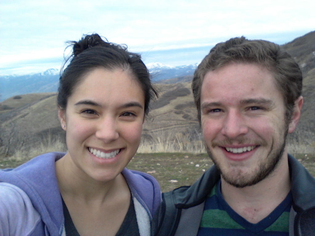
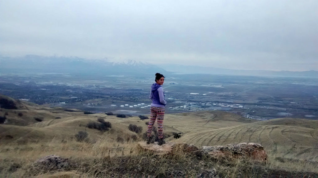
There were a couple benches along the trail overlooks for resting. The higher we went, the more of the valley we could see. I don’t think I’ve ever seen this much of Utah at once before. At one point we could see the Provo mountains peaking up beyond the Point of the Mountain in Draper all the way to Willard Peak in Ogden. That’s like fifty miles across the valley! We could also see the mountains behind Antelope Island, which is usually beyond our view. Unfortunately it was a little hazy, but we plan on hiking up there again for a sunset in the near future.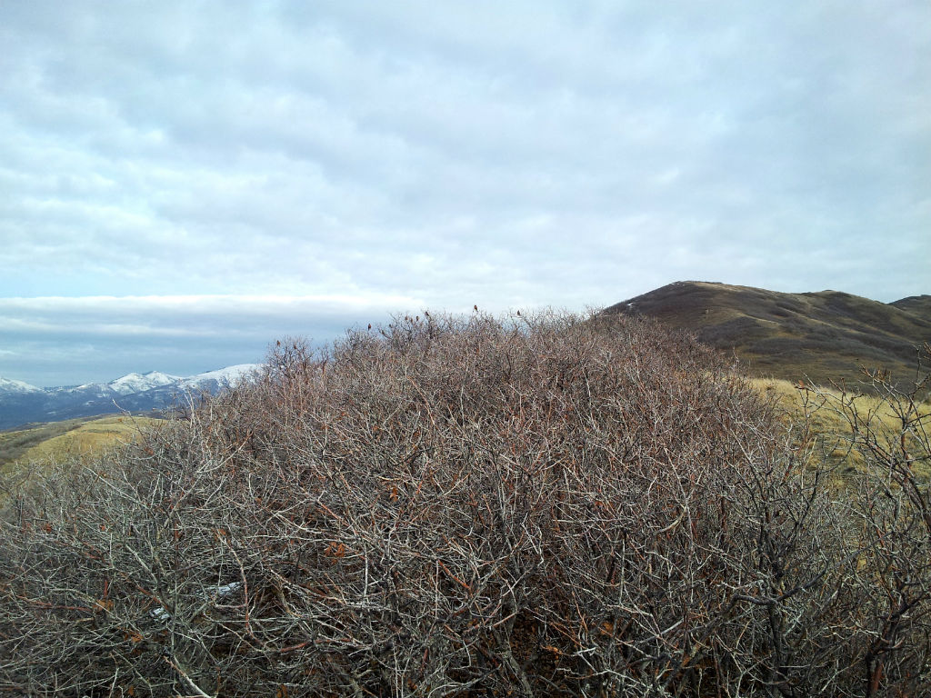
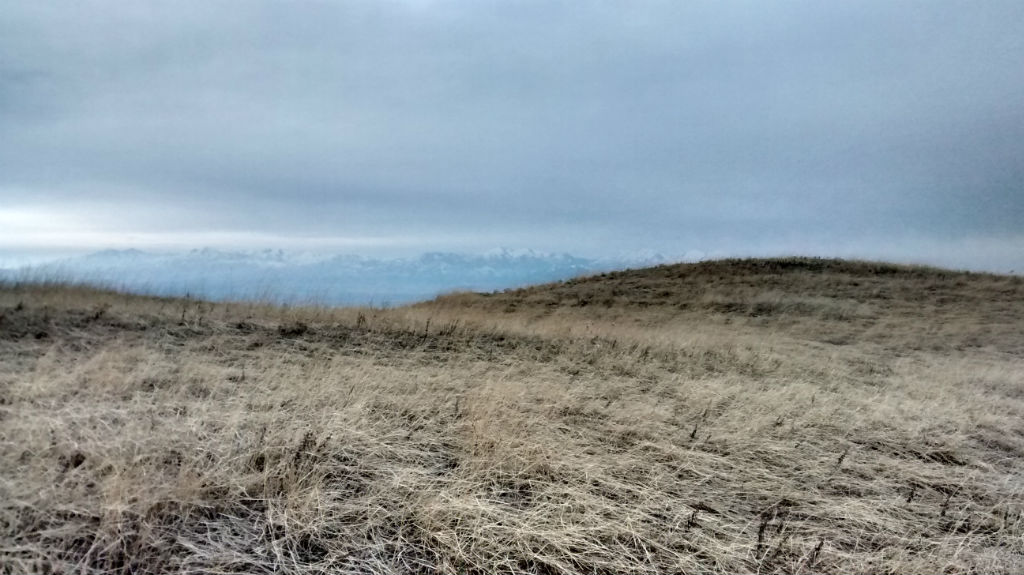
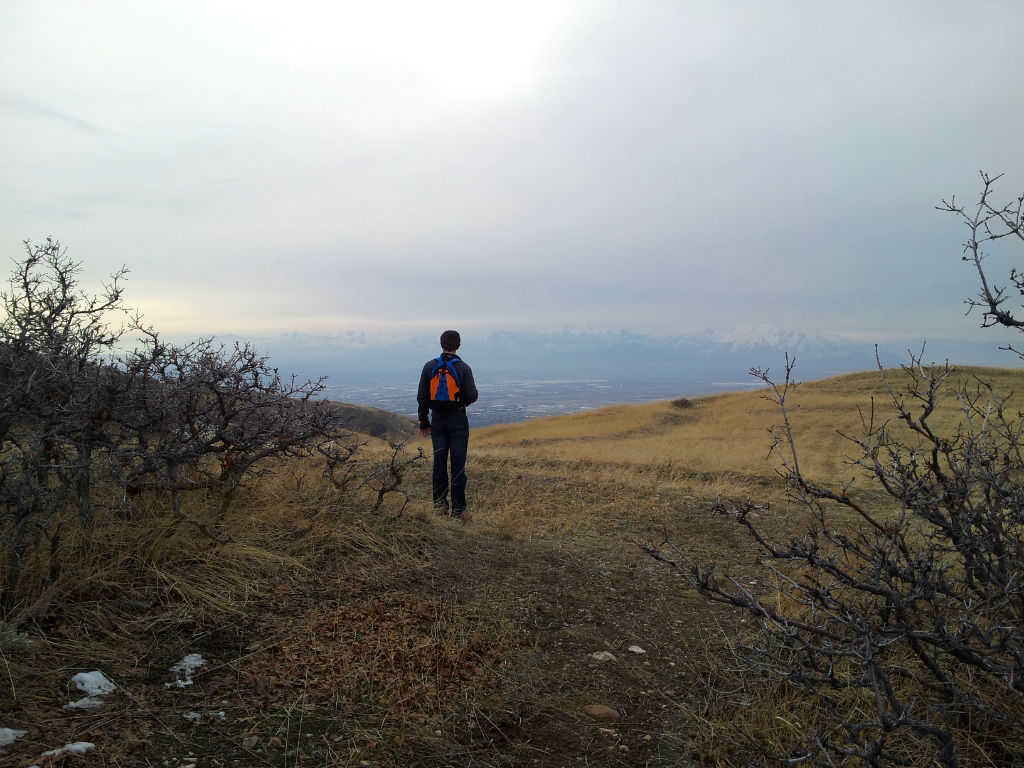
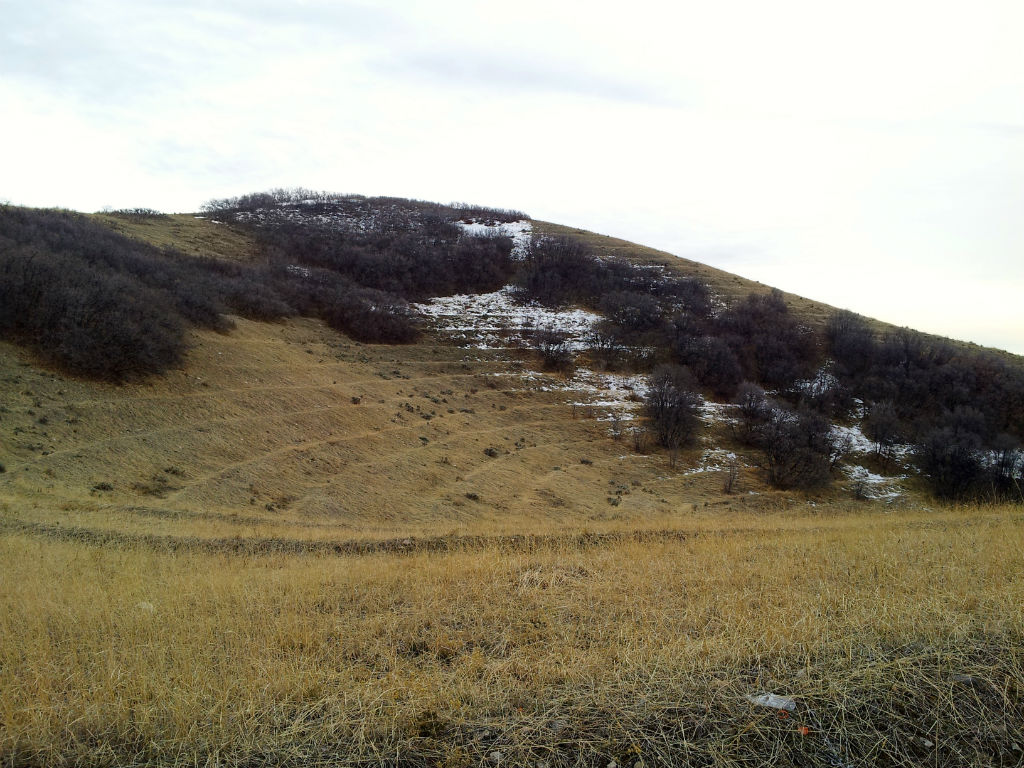
All along the Wasatch Front, you can see evidence of these ‘lines’ that look like steps for a giant. These were erosion-control projects constructed under the New Deal during the Great Depression in the 1930s. You can read more about that here. It’s pretty cool that you can still see them after all these years. They sort of look like large amphitheaters.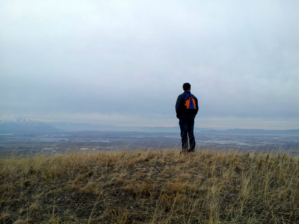
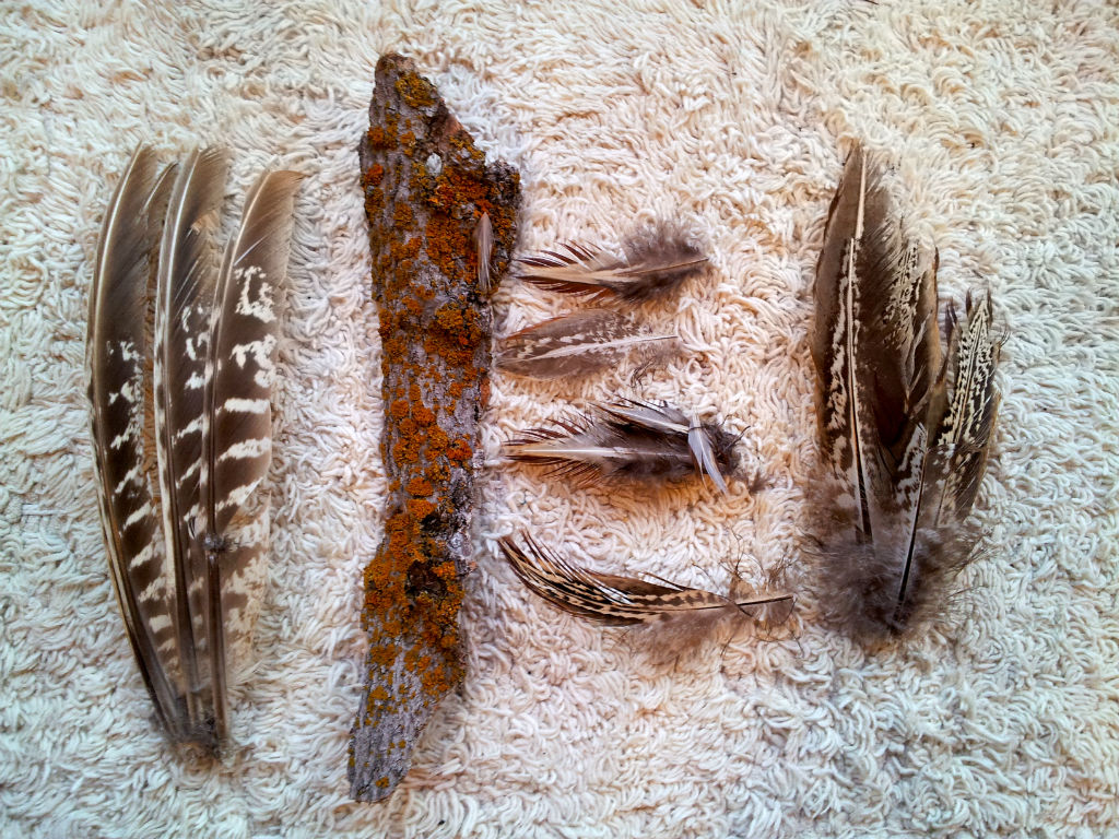
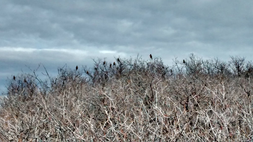
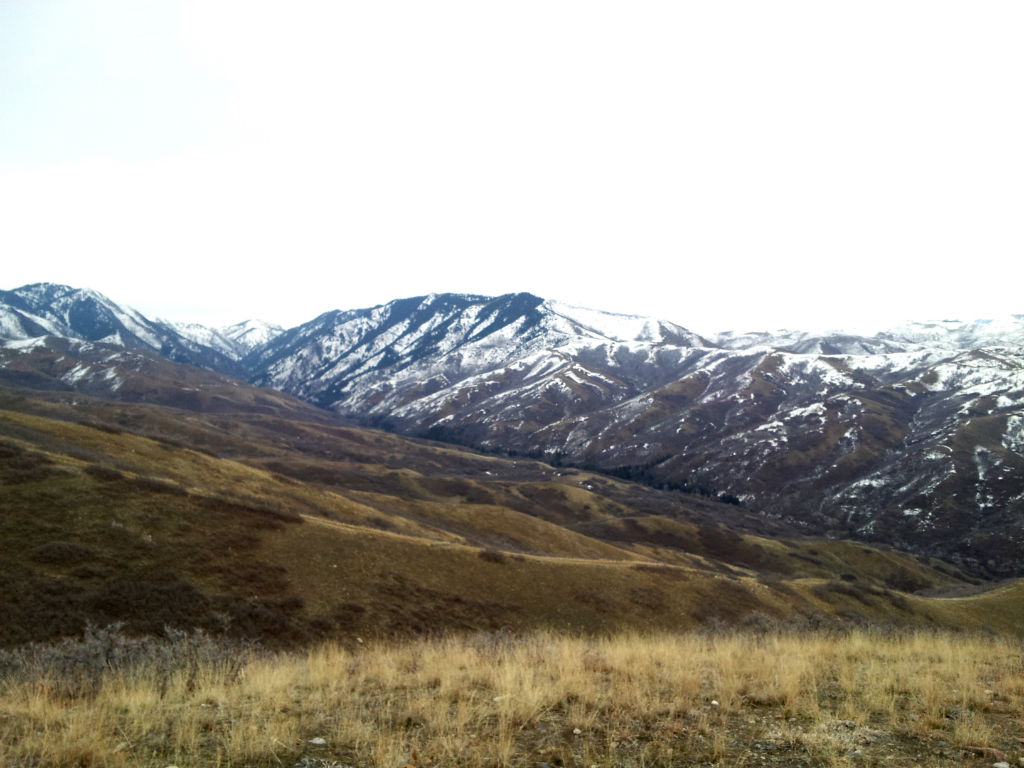
 We were the only ones on the trail besides some birds and a few deer who watched us silently from a distance. There was a chilly wind, but the air was so warm our light jackets were enough to keep warm. Eventually we stopped hiking up and started hiking in toward the mountain to City Creek Canyon. The scrub oak was taller here, and we noticed more coyote droppings. Scrub oak has a bit of a reputation for being ugly, but I think it has such a unique beauty, especially in the winter time. There are so many small curves and twists in the branches. Actually I think it’s beautiful year-round. In the fall the leaves become a pretty golden-orange (the second picture above are autumn leftovers), and in the summer they’re thick with leaves and the trunks are often covered in moss or lichen. We also came across what was most likely a coyote kill. There were beautiful pheasant (we think) feathers everywhere, so we collected some for Colton’s fly-tying kit.
Finally we saw Salt Lake City emerging in front of us. We were able to see mountains 360 degrees around us. I’ve never seen a view quite like this anywhere else in the valley. The further we walked toward the end of the trail, the more of Salt Lake we could see. The University of Utah was visible, as well as the hospital on the hill. You could also see the perfect grid that is Salt Lake, and the larger street of 7th east. 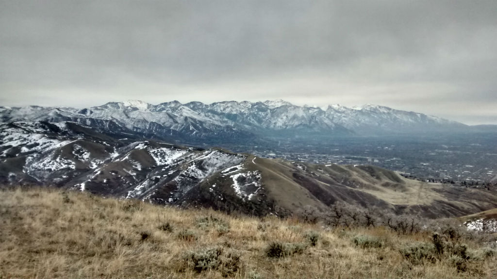
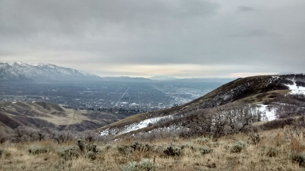
The trip up took us about an hour and twenty minutes to the top and forty minutes back down. Although we did a lot dilly-dallying off the trails and walked toward the edges of the peaks so we could see more of the valley, so it would probably be faster if you went straight up and down. The length was about four miles round-trip. It’s a little steep in places, but it really wasn’t too bad of a hike. If we’d kept going, we could’ve hiked all the way down to City Creek in Salt lake. Maybe we’ll try that someday.


